
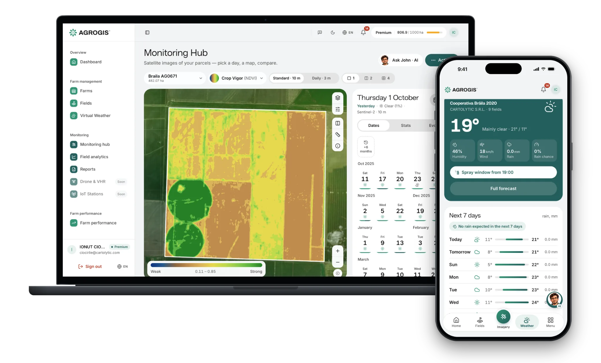
Stop driving out to look

Check every parcel from the kitchen table. Drive out only where something changed.
See how every parcel is doing — satellite imagery, weather and your field records, in one app.
Try it free for 30 days — no card needed
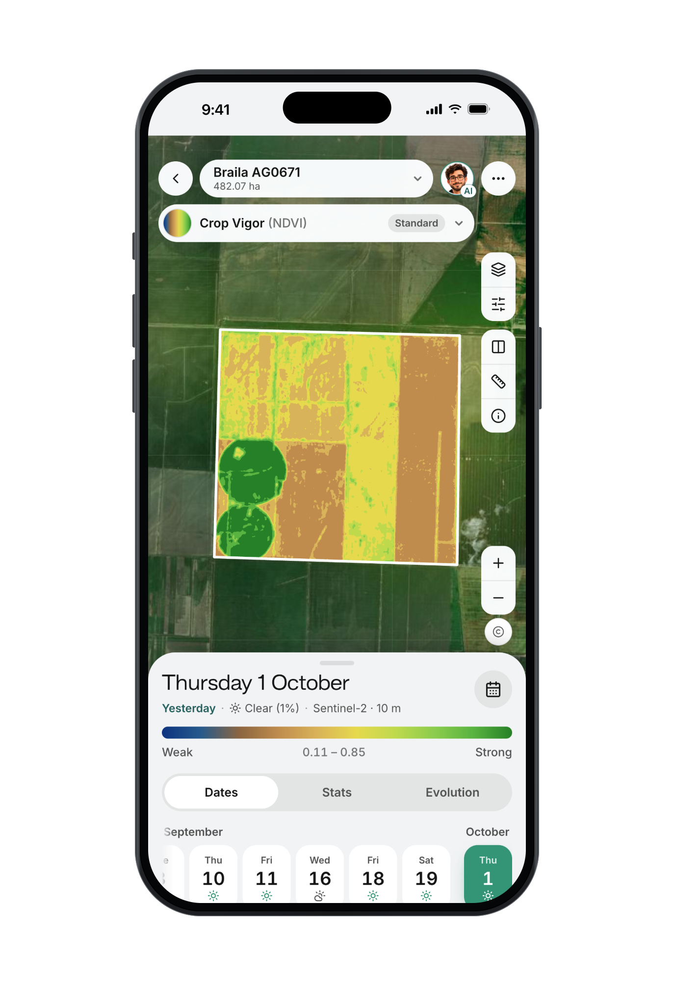
Check every parcel from the kitchen table. Drive out only where something changed.
Each clear satellite pass shows which parts of a field are behind the rest — walk those first.
A rate per zone, exported as ISOXML or a shapefile your terminal reads. Premium.
Cost per hectare from the jobs you log; margin per field once you enter the harvest revenue.
Hourly forecast and frost, heat, rain and wind alerts for your farm's coordinates. Included in Premium; an add-on on Basic.
The same field, the same week, year against year.
The phone records the ground you covered; add a GNSS receiver and it shows the next pass to follow.
Due-diligence reports, the spray register and season figures, each exportable as a PDF.
Fields, satellite imagery, weather, compliance reports, prescription maps and farm costs, on the same parcel record. 30 days free, then choose Basic or Premium.
Fields
Draw or import boundaries
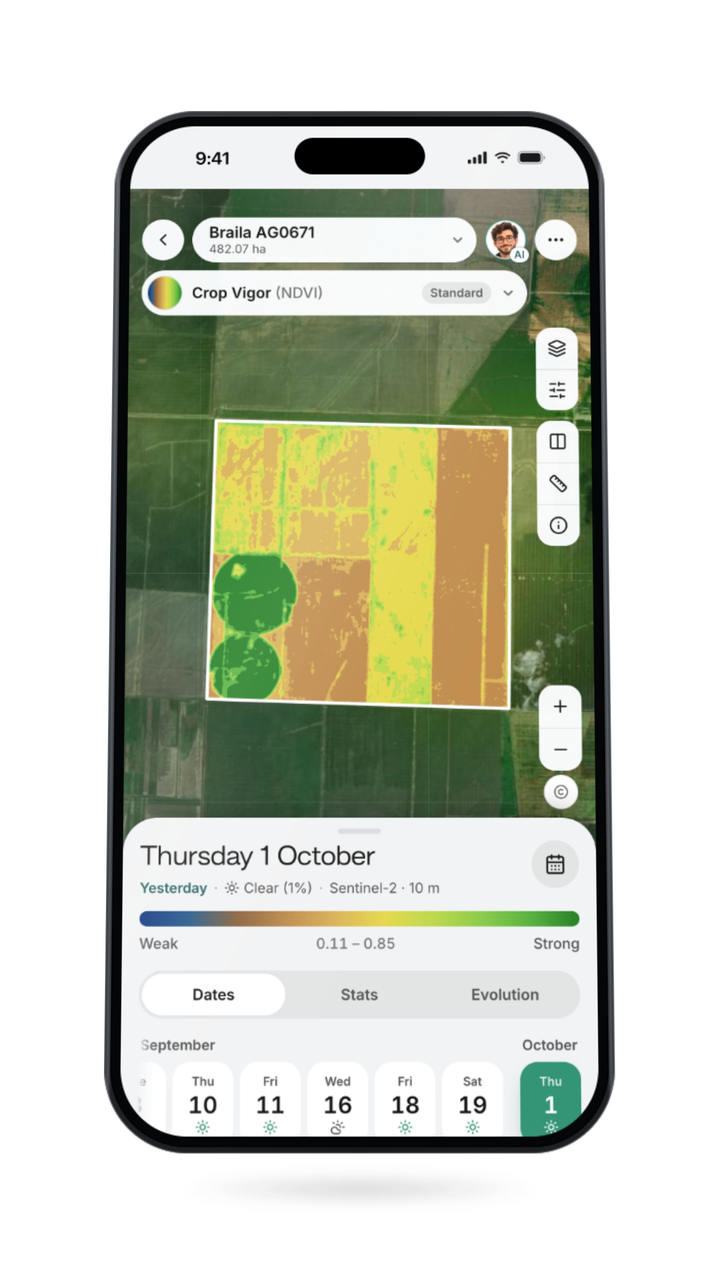
Monitoring hub
Imagery on the parcel
EUDR & ISCC Reports
Evidence for an auditor
Field analytics
The season, curve by curve
Prescription maps
Rates the terminal reads
Operations
Jobs, kit and incidents
Guidance
Straighter passes, recorded
Farm Performance
Cost and margin per hectare
John is the AI assistant inside AGROGIS. It reads your own parcels, their satellite maps, your jobs and issues, and helps you understand what the maps show and plan what comes next — whenever you ask, day or night.
Ask why a parcel changed. John reads its satellite history date by date, always comparing images from the same satellite, and tells you in plain words what moved and what to check in the field.
It reads your open issues and recent jobs, and the forecast for your farm on Premium or with the weather add-on, to help you choose when to scout, spray or irrigate.
Day or night, weekends included, in Romanian, English, Italian, Spanish or French. John answers your own questions on the paid plans — Basic, Premium and Enterprise; during the free trial it shows example questions and answers.
John is an AI, not a person. It asks for your consent before it reads your data, only reads it and changes nothing in your account, recommends no products, gives no doses for plant-protection products or fertilisers, and can be wrong — the decision is always yours, so check anything important with an agronomist or our support team.
Why did the crop vigour on Field 3 drop this week?
Between the clear images of 9 and 14 July, the crop vigour on Field 3 fell by about a fifth, and the field became patchier. Both images come from the same satellite, so the change is not down to a different sensor. The forecast shows no rain for the next six days. Before you irrigate, walk the field and check the soil at root depth — if it is dry there, water stress is the likely cause.
Satellite imagery, a virtual weather station for each farm (Premium, or an add-on on Basic) and the farm-management app work from the same parcel record. Multispectral drone surveys are flown by our team, per project.
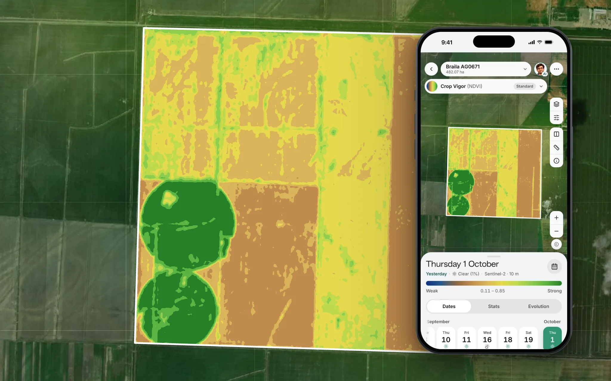
A new satellite image of every parcel every few days, and daily 3 m images as a paid add-on for the fields that need them. Compare dates and see which patches are falling behind.
Details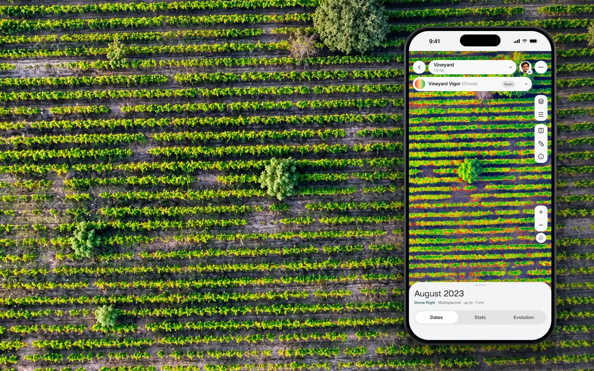
On request, our team flies the field and sends you the orthomosaic, index maps and terrain model as files. Quoted per project; drone layers inside the app are coming soon.
Details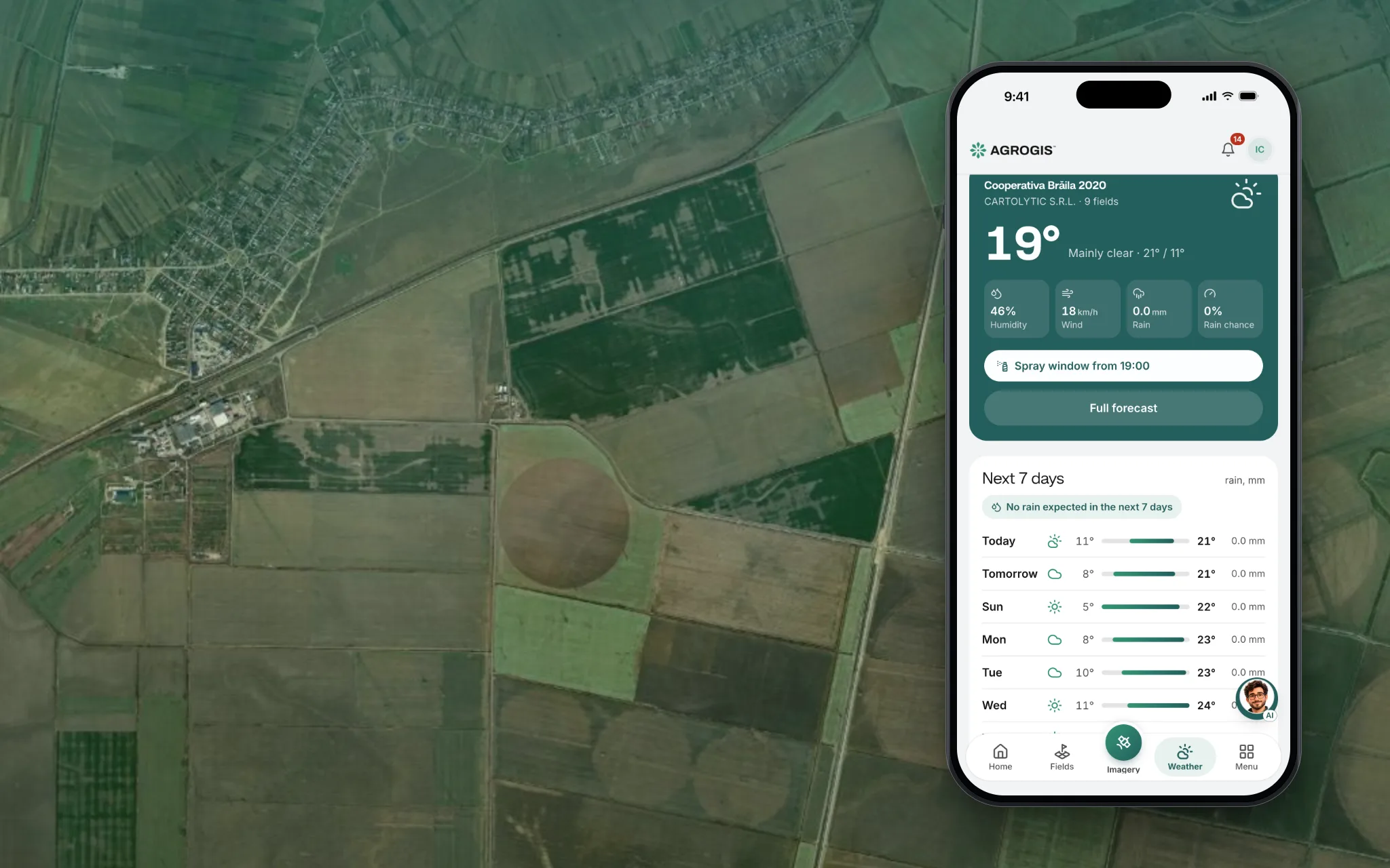
Hourly forecast, spray conditions and frost, heat and rain alerts for your farm's coordinates — nothing to install. Included in Premium, an add-on on Basic.
Details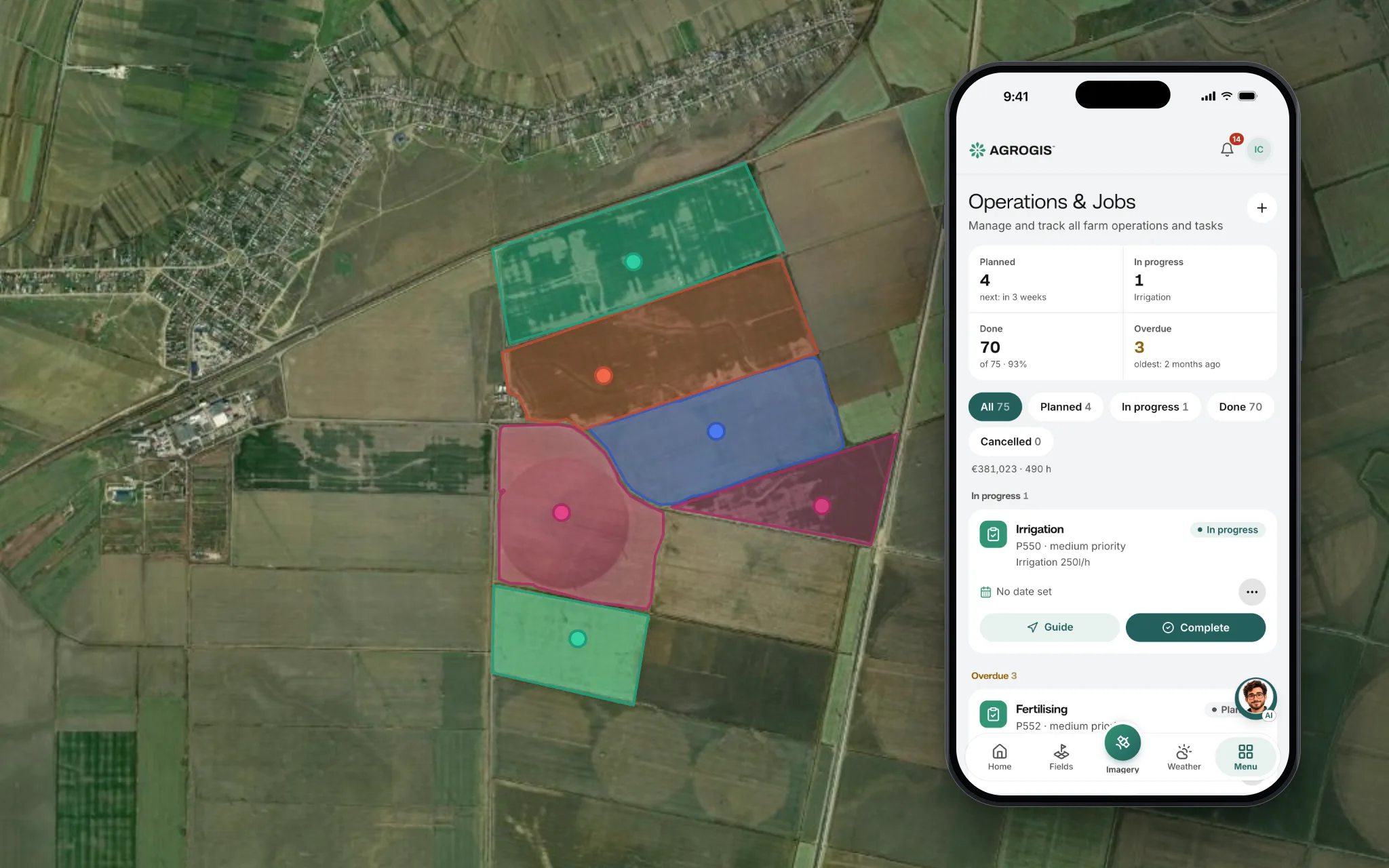
Fields, rotations, jobs, treatments and harvest — recorded on the parcel they belong to. Pin a problem to the map and add photos from the spot.
DetailsA new satellite image of every parcel every few days, and daily 3 m images as a paid add-on for the fields that need them. Compare dates and see which patches are falling behind.
DetailsOn request, our team flies the field and sends you the orthomosaic, index maps and terrain model as files. Quoted per project; drone layers inside the app are coming soon.
DetailsHourly forecast, spray conditions and frost, heat and rain alerts for your farm's coordinates — nothing to install. Included in Premium, an add-on on Basic.
DetailsFields, rotations, jobs, treatments and harvest — recorded on the parcel they belong to. Pin a problem to the map and add photos from the spot.
DetailsWeather stations, soil sensors and add-ons for the platform, each one described on its own page.
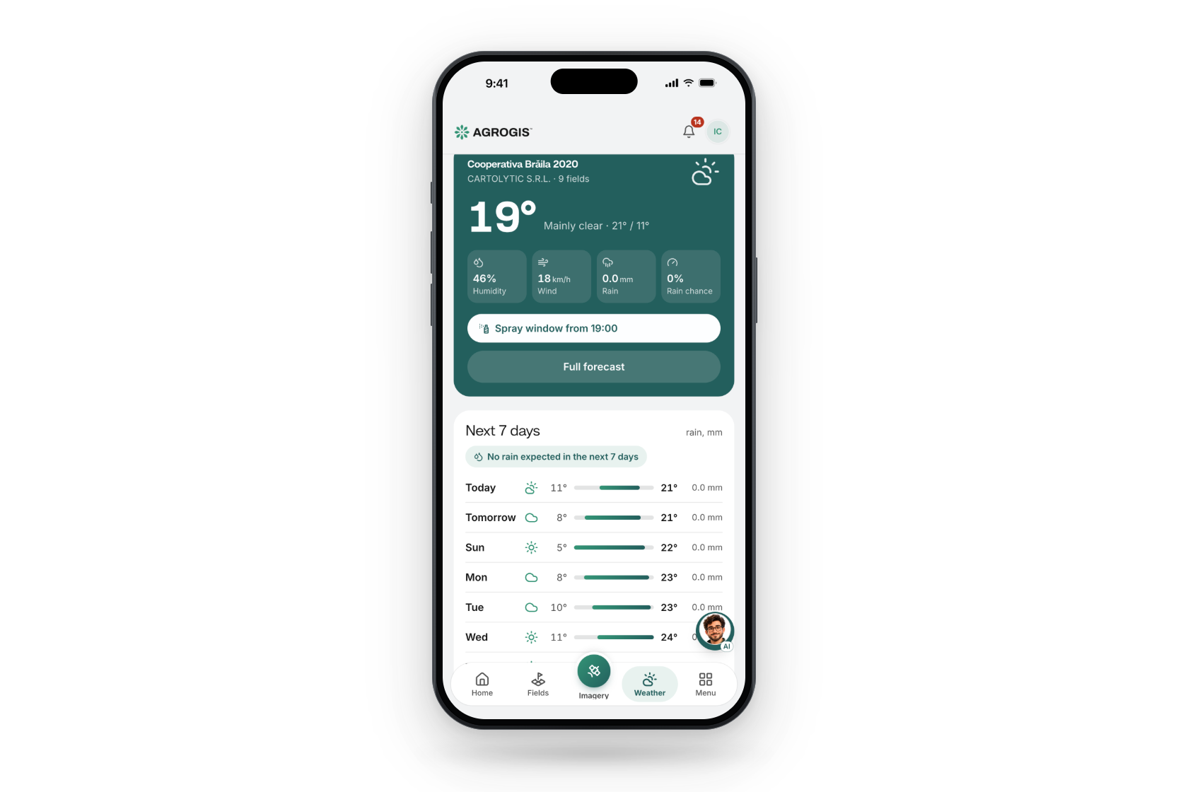
Weather data & forecasts, no hardware
Details →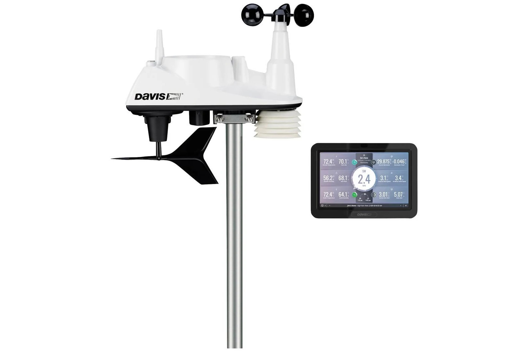
A compact wireless weather station for the farm: temperature, humidity, pressure, wind and rain, on a colour touchscreen console.
Details →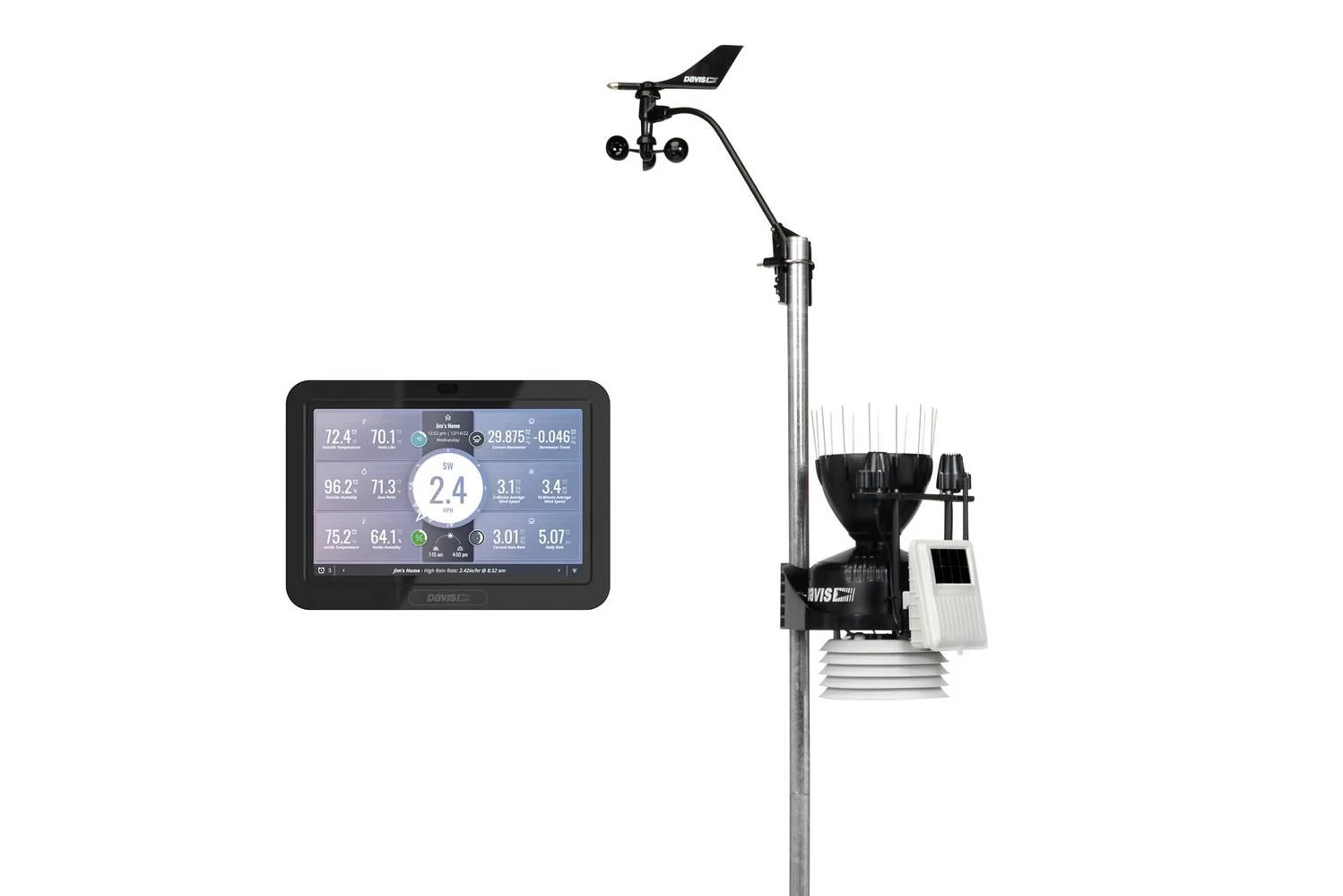
The professional wireless station: an anemometer on its own arm and a rain collector that meets World Meteorological Organization guidelines.
Details →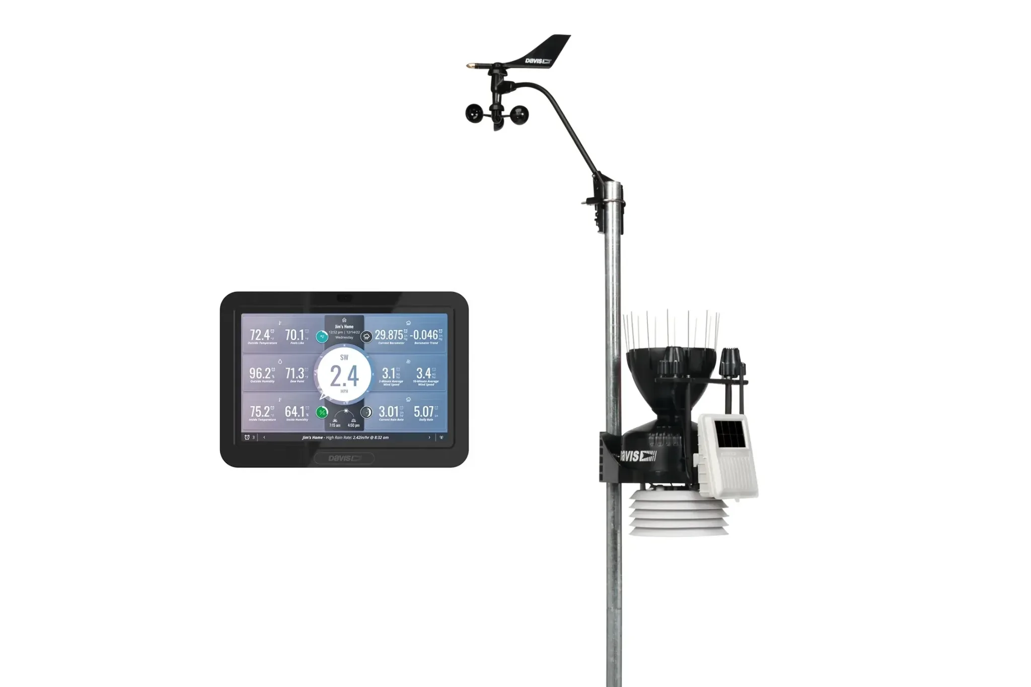
Everything in the Vantage Pro2, plus solar radiation and UV sensors — so the console also gives you evapotranspiration.
Details →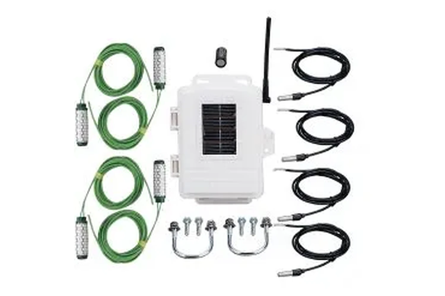
Four soil moisture and four soil temperature sensors, at the depths you choose, sent wirelessly to your Vantage station’s console.
Details →AGROGIS installs to the home screen from the browser — no store, no update prompts. Open a parcel, check the last satellite pass, log what you sprayed, all from the tractor cab.
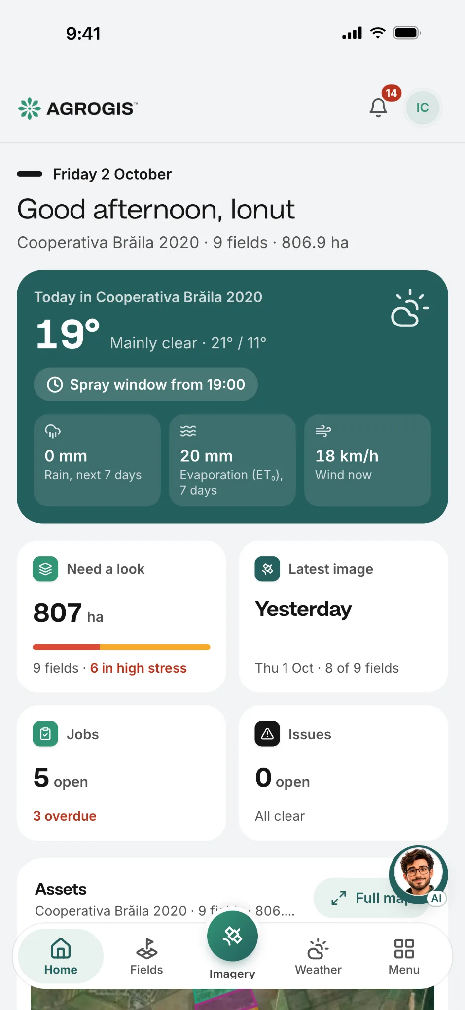
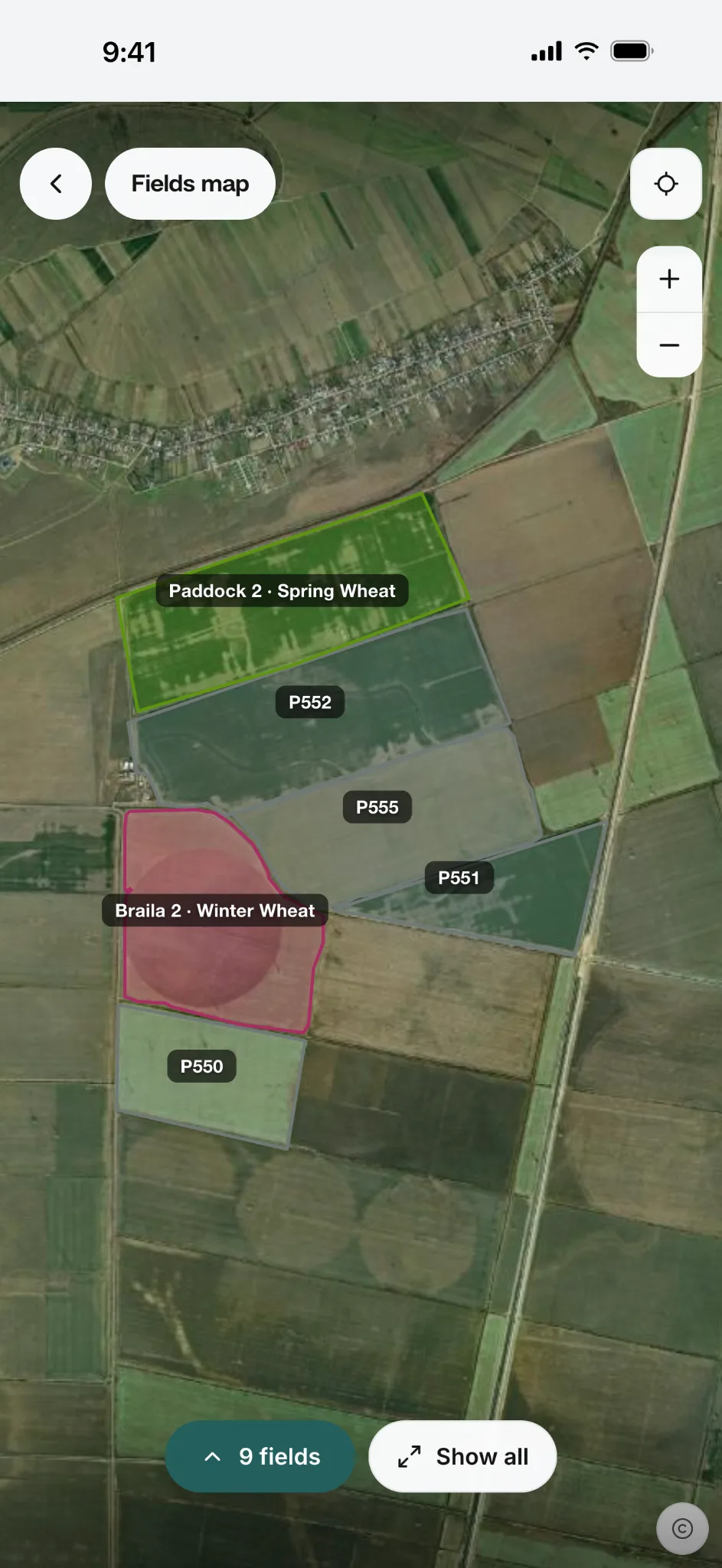
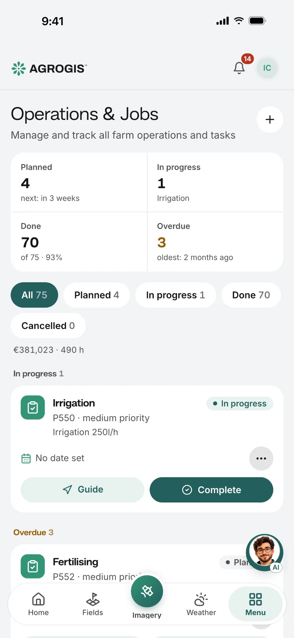
Native apps are on the way. Today, install it from the browser.
142 crops in 12 families to choose from when you set up a season.
Growing something else? We add species on request.
The same satellite record, at the scale you work at and shaped the way you work.
Not on the list?
Tell us what you work with and we will tell you whether we can help.
No installation, no training, no agronomist required. If you can use a smartphone, you can use AGROGIS.
Email or Google. A 30-day free trial, no card needed. You are in within a minute.
Draw on the map, tap a parcel and check the boundary AGROGIS suggests, or upload GeoJSON, KML or KMZ.
Pictures arrive on their own. Crop health, water stress and growth — updated every few days, nothing to set up.
Spot trouble early, plan operations around the weather, share reports with your team or your bank.
Email or Google. A 30-day free trial, no card needed. You are in within a minute.
Draw on the map, tap a parcel and check the boundary AGROGIS suggests, or upload GeoJSON, KML or KMZ.
Pictures arrive on their own. Crop health, water stress and growth — updated every few days, nothing to set up.
Spot trouble early, plan operations around the weather, share reports with your team or your bank.
30 days free on up to 10 hectares, no card. After that, choose Basic or Premium to keep working — your fields and records stay in your account.
Unlimited hectares, daily high-detail imagery included, on-site onboarding and an individual SLA.
Every plan works in the browser and installs on your phone. Prices are final — AGROGIS does not charge VAT, so nothing is added at checkout.
Modular, transparent pricing. Add a module from the Billing page in the app.
Forecast and alerts for your farm's coordinates
Scale beyond your plan limit
3-metre daily high-resolution imagery
Add agronomists, family members, accountants. Each person sees only the farms they should.
Hands-on team members
Manage fields, log issues, plan jobs, use monitoring tools — but no admin or billing access.
Basic includes 2 · Premium includes 5
Read-only access
See farm data, analytics, and reports — perfect for accountants, advisors, or family.
Unlimited on Basic and Premium · the free trial is for one person
Still have a question? Email us — we read every message.
Partners




We reply within one business day, and the first 30-minute call is free. Or try the app now.